

Snow pics from the Blizzard of 2010. East coasters - got snow pics yet?
 02-08-2010 | 06:23 PM
#91
Thread Starter
Rennlist Member
Joined: Aug 2005
Posts: 10,265
Likes: 337
From: I should be in TNT for Carnival!

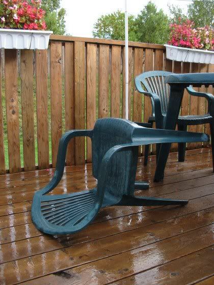
Slowly melting, but not for long...

Last edited by TRINITONY; 02-08-2010 at 08:07 PM.
02-08-2010 | 08:29 PM
#92
Thread Starter
Rennlist Member
Joined: Aug 2005
Posts: 10,265
Likes: 337
From: I should be in TNT for Carnival!
http://www.washingtonpost.com/wp-srv...l?hpid=topnews
Ugh: New storm warning issued
Federal government closed Tuesday; 16" of snow possible
A Winter Storm Warning has been issued from Tuesday afternoon until Wednesday afternoon.
The National Weather Service says accumulations of 10 to 20 inches of snow are possible.
ABC 7 Chief Meteorologist Doug Hill says it'll be a major snowstorm -- but not to the level of the recent blizzard.
"The 20 inches will be restricted to areas north and east of the metro area. Especially up the I-95 corridor -- Laurel, Beltsville, the closer you get to Howard County and up to Baltimore. The heaviest of the snow will be northeast of Baltimore," Hill says.
Areas to the south could see a mix of rain and snow.
There won't be as much snow in the forecast, but the winds could create a problem.
"One thing that will be different is the winds will be much stronger, so we'll see more drifting and blowing of the snow," Hill says.
Melting will resume when temperatures reach the mid-upper 30s on Thursday, Friday and Saturday, with sunny skies.
--------------------------------------------------------------------------------
02-08-2010 | 10:32 PM
#93
Rennlist Member
Joined: Feb 2002
Posts: 6,609
Likes: 885
From: Gaithersburg, MD.
http://www.washingtonpost.com/wp-srv...l?hpid=topnews
Ugh: New storm warning issued
Federal government closed Tuesday; 16" of snow possible
A Winter Storm Warning has been issued from Tuesday afternoon until Wednesday afternoon.
The National Weather Service says accumulations of 10 to 20 inches of snow are possible.
ABC 7 Chief Meteorologist Doug Hill says it'll be a major snowstorm -- but not to the level of the recent blizzard.
"The 20 inches will be restricted to areas north and east of the metro area. Especially up the I-95 corridor -- Laurel, Beltsville, the closer you get to Howard County and up to Baltimore. The heaviest of the snow will be northeast of Baltimore," Hill says.
Areas to the south could see a mix of rain and snow.
There won't be as much snow in the forecast, but the winds could create a problem.
"One thing that will be different is the winds will be much stronger, so we'll see more drifting and blowing of the snow," Hill says.
Melting will resume when temperatures reach the mid-upper 30s on Thursday, Friday and Saturday, with sunny skies.
--------------------------------------------------------------------------------
Ugh: New storm warning issued
Federal government closed Tuesday; 16" of snow possible
A Winter Storm Warning has been issued from Tuesday afternoon until Wednesday afternoon.
The National Weather Service says accumulations of 10 to 20 inches of snow are possible.
ABC 7 Chief Meteorologist Doug Hill says it'll be a major snowstorm -- but not to the level of the recent blizzard.
"The 20 inches will be restricted to areas north and east of the metro area. Especially up the I-95 corridor -- Laurel, Beltsville, the closer you get to Howard County and up to Baltimore. The heaviest of the snow will be northeast of Baltimore," Hill says.
Areas to the south could see a mix of rain and snow.
There won't be as much snow in the forecast, but the winds could create a problem.
"One thing that will be different is the winds will be much stronger, so we'll see more drifting and blowing of the snow," Hill says.
Melting will resume when temperatures reach the mid-upper 30s on Thursday, Friday and Saturday, with sunny skies.
--------------------------------------------------------------------------------

 02-09-2010 | 01:09 AM
#96
Instructor
Joined: Sep 2005
Posts: 213
Likes: 0
I grew up in Central New York, where 6" of snow wasn't enough for school to be delayed, let alone cancelled, but the pics here are truly awesome. For those of you who like it - enjoy! For those of you who don't - move, because it looks like more is headed your way!! In the meantime, southern VT needs snow so it's painful to watch the snow going south every storm...
 02-09-2010 | 09:30 AM
#100
Happily Amused
Rennlist Member
Rennlist Member
Joined: Aug 2002
Posts: 4,157
Likes: 1
From: MoCo, Md
 02-09-2010 | 10:19 AM
#101
Race Director
Joined: Jan 2004
Posts: 10,272
Likes: 12
From: NE Florida
I grew up in Central New York, where 6" of snow wasn't enough for school to be delayed, let alone cancelled, but the pics here are truly awesome. For those of you who like it - enjoy! For those of you who don't - move, because it looks like more is headed your way!! In the meantime, southern VT needs snow so it's painful to watch the snow going south every storm...
We started getting a pretty heavy snow again last night about 8PM, had turned to half/half rain/snow when I went to bed. This AM it's still mostly rain but some snow. I suspect this is the same system heading up to the DC area.
Best of luck guys. Too much of a good thing.....
Edit: now it's back to snow, and pretty heavy at that.
02-09-2010 | 12:59 PM
#103
Seared
Rennlist Member
Rennlist Member
Joined: Jul 2005
Posts: 16,785
Likes: 418
From: Ellicott City, MD

 02-09-2010 | 01:22 PM
#104
Pro
Joined: Jul 2007
Posts: 529
Likes: 0
From: Northern Virginia
I made it to the office today in downtown DC ... what a mess!
I just got an email that one of my co-workers lost his house in Great Falls VA (20 miles west of here) to a fire. The fire trucks couldn't get through the snow to save it. He and the wife are OK, they lost a cat and bird, but their horses were in a nearby barn that was untouched.
I'm done complaining... things could be worse!
02-09-2010 | 05:29 PM
#105
Rennlist Member
Joined: Feb 2002
Posts: 6,609
Likes: 885
From: Gaithersburg, MD.
I just got an email that one of my co-workers lost his house in Great Falls VA (20 miles west of here) to a fire. The fire trucks couldn't get through the snow to save it. He and the wife are OK, they lost a cat and bird, but their horses were in a nearby barn that was untouched.
I'm done complaining... things could be worse!
Well, it's really coming down right now (more snow). I can't imagine having 40-45 mph winds tomorrow as it's so calm and lovely with the snow falling but I'm sure the forecasters are right.
This time lapse photography of our DC winter storm is pretty cool. That tree is a goner.
http://www.fark.com/cgi/vidplayer.pl?IDLink=5010205
Last edited by Steve 96C4S; 02-10-2010 at 12:50 PM.