Twisty and scenic roads in Southern Ontario
#16
Check out highway 507 out of Buckhorn. It's huge for street bikes there is even a website about it.
I've spent a fair amount of time looking for interesting roads to ramble through. Apart from the Escarpment, Southern Ontario is very flat, and the roads are very straight... well, at least outside the cities of Kitchener and Waterloo. I suppose it's efficient for transportation, but it's not much fun for us. I assume most of us know the Forks of the Credit road, but it's short and crowded at times, so it would be nice to have some alternatives or additions. I'll share a few roads I've tried below, sorted from near to far.
Hockley Road, near Orangeville: It's somewhat winding and somewhat scenic, though it's nothing too exciting for me despite the 70 km/h speed limit. The curves aren't too tight, and it seems to be fairly popular with bikers. Still, it's a decent length and relatively close to the GTA.
Airport Road, north of Hwy 9, near Orangeville: While not too curvy, it's a scenic area with plenty of ups and downs. It's a pleasant scenic road for going places.
River Road, from Horning's Mills to Terra Nova: Great long twisty run, with low traffic, where you can have fun while staying within the speed limit. There are several similar decent roads around and connecting to it too, such as 20 Sideroad and Prince of Wales Road. Just remember to be courteous and watch out for pedestrians and bicyclists on the side of the road.
County Road 9, near Creemore and Noisy River Provincial Park: I haven't visited it yet, but it's on my to go list for my next outing. It looks decent in Google Maps.
Any other suggestions for enjoyable roads within a couple hours of the GTA?
#17
I have one that's abt 4k x 3k. Msg me your email addr and I can send it to you
#18
Here is the 507 its very twisty lots of elevation changes etc...
https://www.google.com/maps/d/viewer...699999997&z=11
There used to be a website where street bike guys posted their times down the road, its pretty crazy!
https://www.google.com/maps/d/viewer...699999997&z=11
There used to be a website where street bike guys posted their times down the road, its pretty crazy!
#19
Three Wheelin'
Drove home last night from TMP Cayuga to TO. Departed at 9:30PM and it was very dark but the dynamic lights were cool through the turns!
Used the Porsche Navigation System and it took me on what I'm guessing is a very scenic drive up the west side of the Grand River around Caledonia then through the country entering Hamilton from the South West using the 403 to join the QE for the last dash.
Think it was Hwy 3 to 6 but maybe someone familiar with the area can clarify.
#20
Rennlist Member
Drove home last night from TMP Cayuga to TO. Departed at 9:30PM and it was very dark but the dynamic lights were cool through the turns!
Used the Porsche Navigation System and it took me on what I'm guessing is a very scenic drive up the west side of the Grand River around Caledonia then through the country entering Hamilton from the South West using the 403 to join the QE for the last dash.
Think it was Hwy 3 to 6 but maybe someone familiar with the area can clarify.
Used the Porsche Navigation System and it took me on what I'm guessing is a very scenic drive up the west side of the Grand River around Caledonia then through the country entering Hamilton from the South West using the 403 to join the QE for the last dash.
Think it was Hwy 3 to 6 but maybe someone familiar with the area can clarify.
#21
Drifting
Leave your lowered car at home. 1 1/2 lanes wide, off camber, do it, turn around and do it again road. Hint-snowmobile trail in the winter. Kizmit- premium shell at the south end.
https://www.google.ca/maps/dir/44.99...dbff66!1m0!3e0
https://www.google.ca/maps/dir/44.99...dbff66!1m0!3e0
The following users liked this post:
distracteddev (02-09-2024)
#23
Rennlist Member
Leave your lowered car at home. 1 1/2 lanes wide, off camber, do it, turn around and do it again road. Hint-snowmobile trail in the winter. Kizmit- premium shell at the south end.
https://www.google.ca/maps/dir/44.99...dbff66!1m0!3e0
https://www.google.ca/maps/dir/44.99...dbff66!1m0!3e0
#24
Drifting
#25
Drifting
I have done this road many times going up north. Its a great track but it can be very rough at times and have lots of sand in the corners early in the season. I love the part up on top of the shield - great picnic spot
#26
Rennlist Member
The Torrance Barons......one of the darkest places at night in Ontario or North America supposedly iirc
#27
Rennlist Member
Thread Starter
Join Date: Nov 2016
Location: Waterloo, Ontario, Canada
Posts: 1,534
Received 833 Likes
on
458 Posts
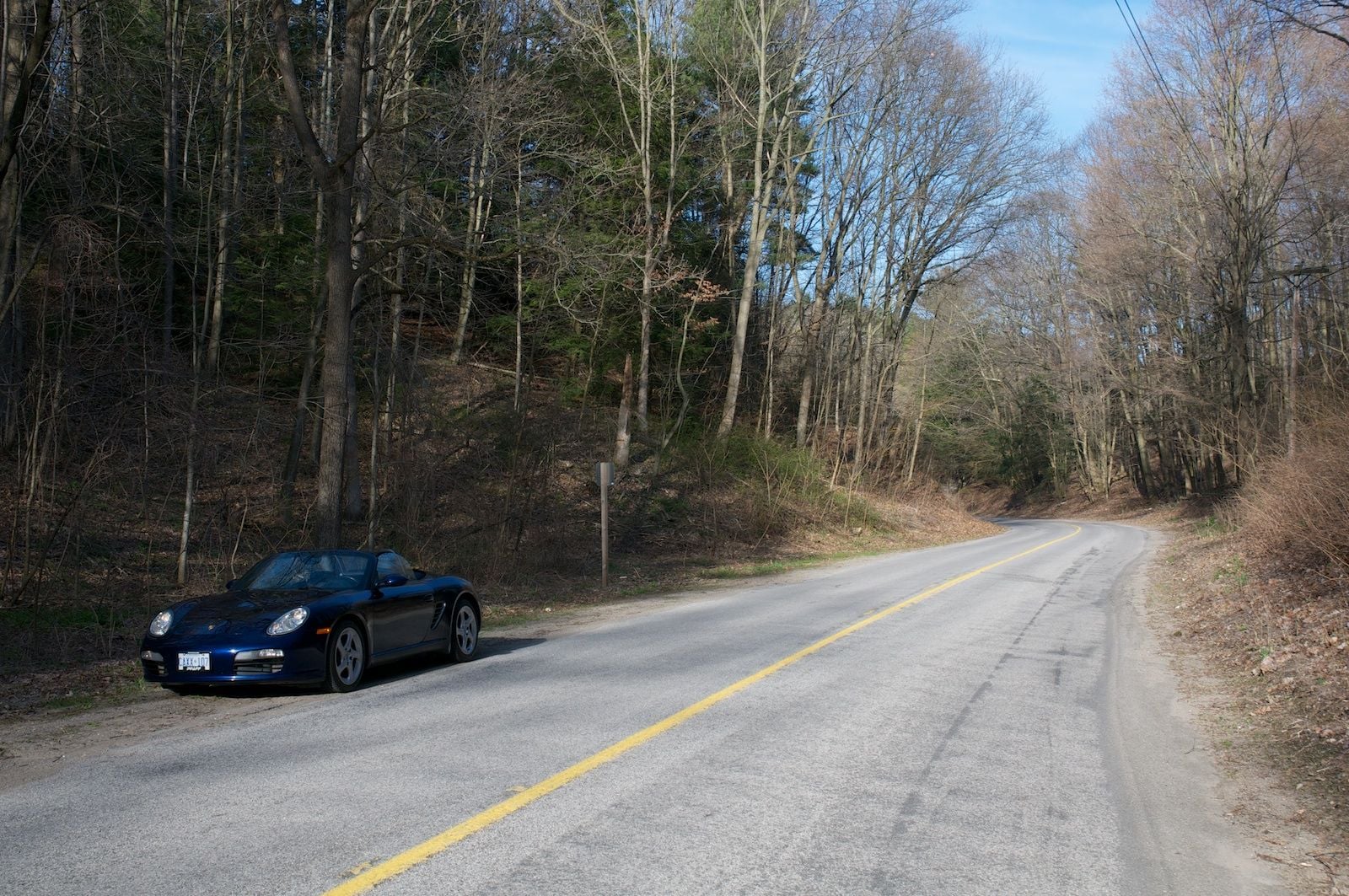
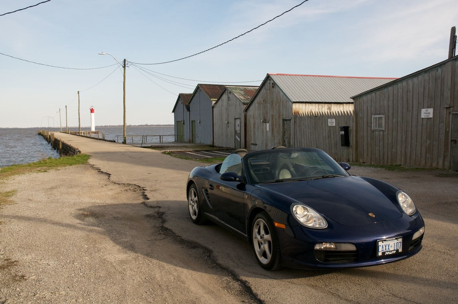
A couple snaps taken today:

Front Road

Port Rowan marina
#28
Drifting
#29
Drifting
#30
Drifting
Leave your lowered car at home. 1 1/2 lanes wide, off camber, do it, turn around and do it again road. Hint-snowmobile trail in the winter. Kizmit- premium shell at the south end.
https://www.google.ca/maps/dir/44.99...dbff66!1m0!3e0
https://www.google.ca/maps/dir/44.99...dbff66!1m0!3e0
Southwood Rd 13 is not one that I would enjoy at speed in a vehicle with low profile tires. At times it can be ok on a motorcycle, cause you can avoid a lot of the frost heaves and pot holes...
The really twisty parts have some spots with really poor sight lines, and there could be pedestrian traffic or oncoming traffic that strays a but over the center line. Definite pucker moments.
The whole surface was redone with chip and tar maybe 10 yrs ago.... It has decayed significantly again since.


