When you click on links to various merchants on this site and make a purchase, this can result in this site earning a commission. Affiliate programs and affiliations include, but are not limited to, the eBay Partner Network.
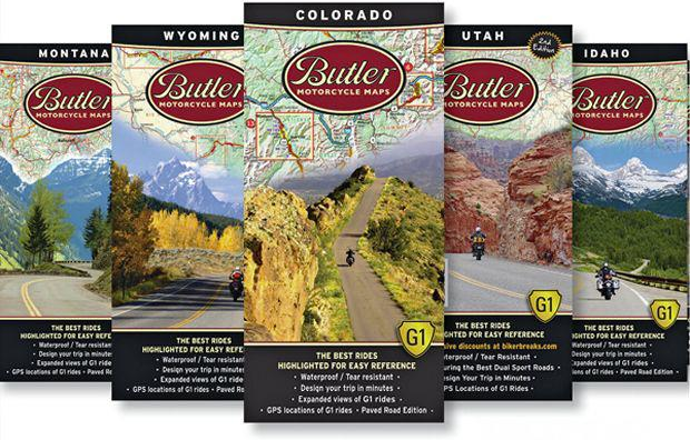
I ran across an ad for Butler Maps. Butler has put out physical maps for many states, and each map highlights the best driving routes. I have been looking for something like this.
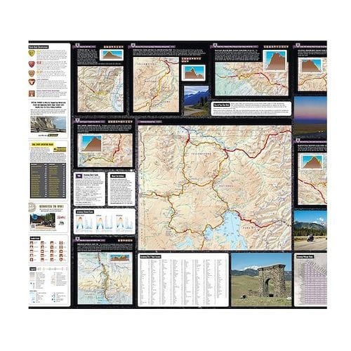
They classify the roads according to good, better and best, each colored on the map. They have backcountry and paved road editions. Obviously you will want the paved editions, unless you like off-roading your P car.
I ordered the Rocky Mountain G1 Collection, which includes the individual state maps for Colorado, Utah, Idaho, Montana, Wyoming and a bigger planner showing all 5 states. It also comes with a pouch to store the maps in. The reviews i have read and watched say the maps are pretty high quality, and contain information about each route.
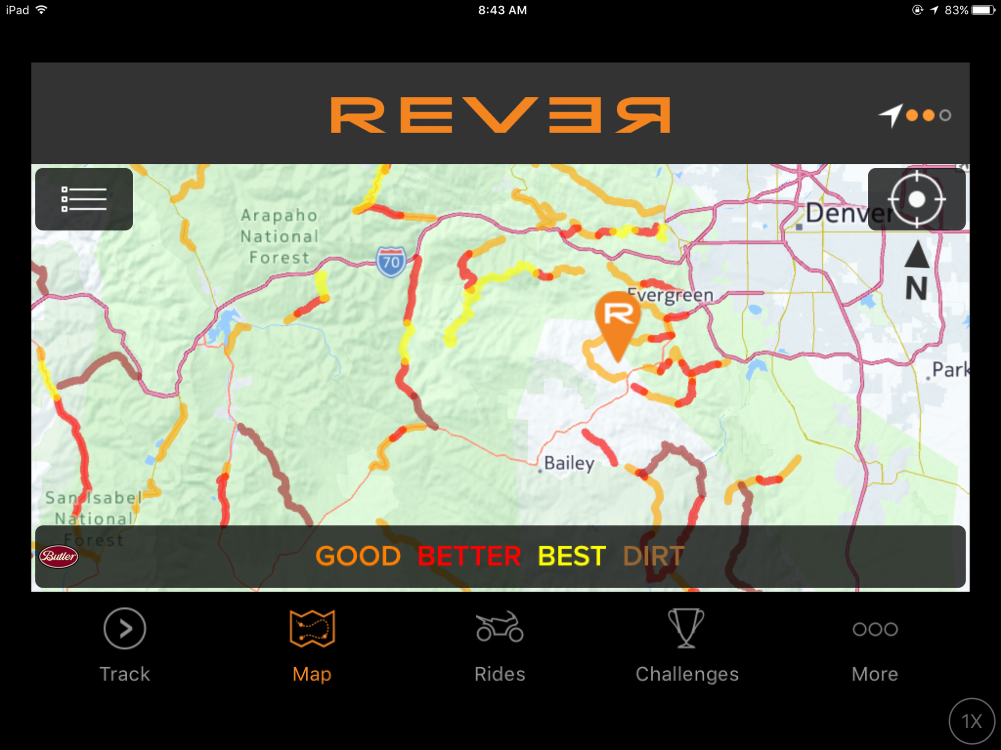
There is also an app you can download (costs $60 per year), which I tried out yesterday. I tested out my area, and it showed all the roads I enjoy, even the smaller hidden ones, so I think the data is pretty good. I can already see a couple more near me that I now have to explore.
Here's a screenshot of my area...
You can track your drives with the app, and they even have challenges, which i haven't looked into yet.
If you are looking for new driving roads in your area, or planning a road trip, you might want to check Butler out.
Nice! Thanks for sharing... here is a link to the app you mentioned on iOS. Took me a bit to realize it's called Rever and not Butler Maps. I bought the paper version for WA on Amazon to try it out
Nice! Thanks for sharing... here is a link to the app you mentioned on iOS. Took me a bit to realize it's called Rever and not Butler Maps. I bought the paper version for WA on Amazon to try it out
Have used Butler Maps for years to plan day to week long motorcycle trips. Highly recommend (and they are a CO company...).
Thanks Bryan. Got my maps a few days ago. Very well done. Use them for planning longer road trips, and use the app for finding local roads.
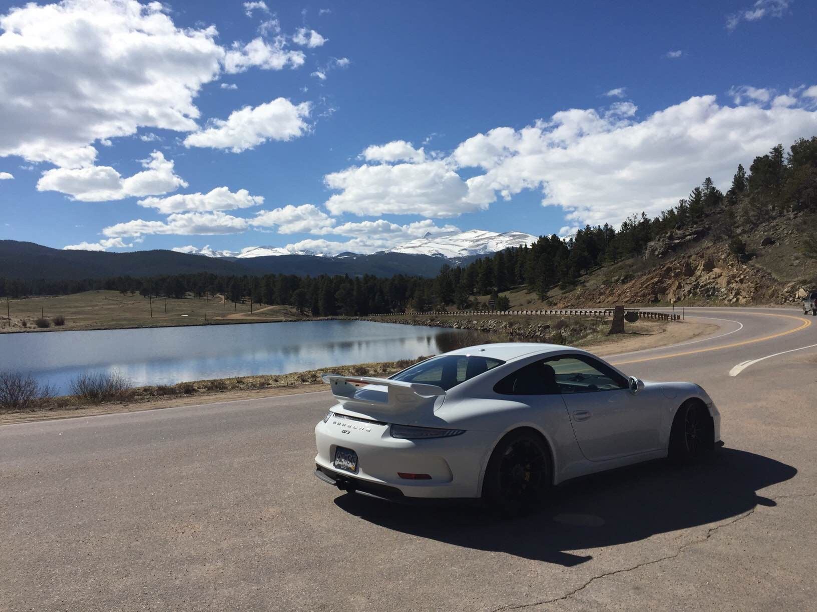
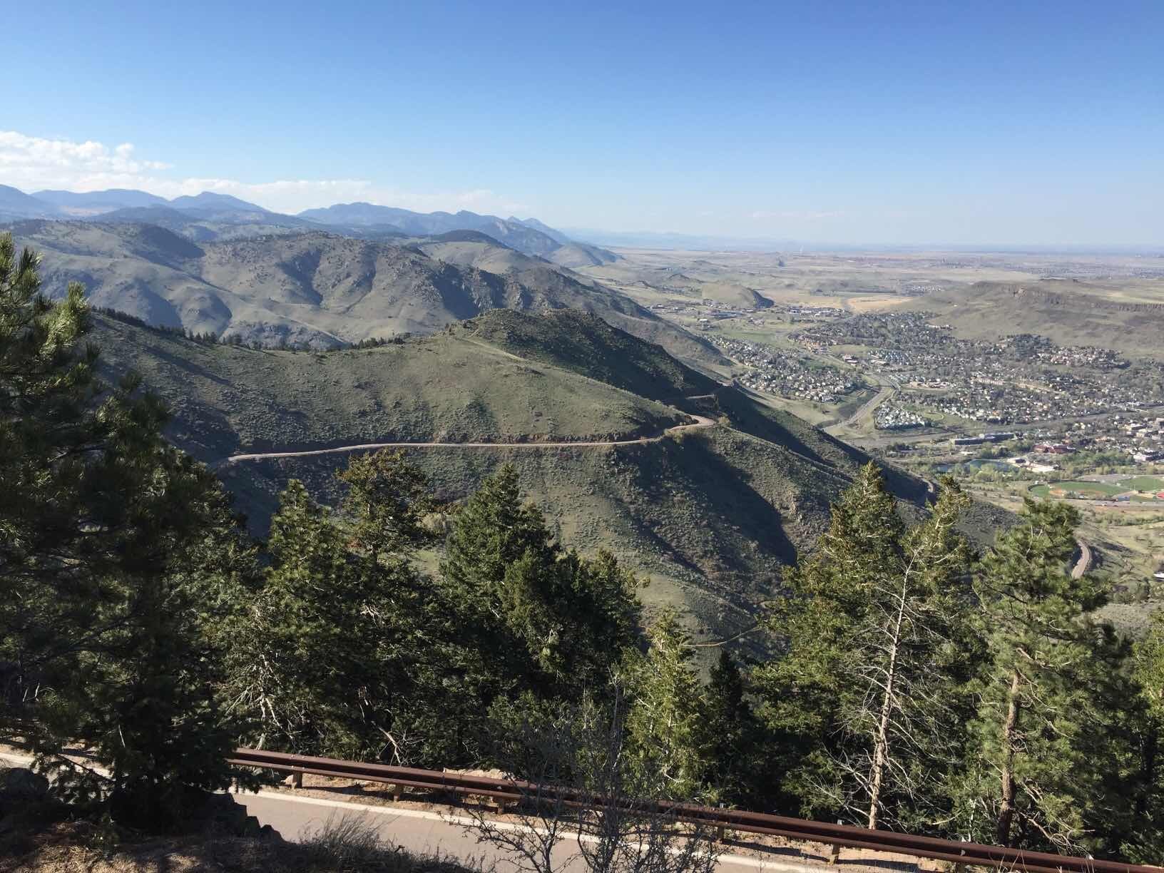
On that note, I drove up to Bill Cody's Museum. My God that road. We have a new #1! I will take the Sony next time and record it. Here's one shot. Note the road. Amazing!
Great picture. I've passed that road (off of I-70?) a million times and never knew it was there.
That's the great thing about the Butler maps - they identify great roads which you may not know were even there. This is especially helpful when traveling out of state. I ride a Ducati and enjoy the same types of roads on the bike as I do in the car.
That's the great thing about the Butler maps - they identify great roads which you may not know were even there. This is especially helpful when traveling out of state. I ride a Ducati and enjoy the same types of roads on the bike as I do in the car.
Agree Bryan. The Butler maps AND the app are solid.
Thanks Bryan. Got my maps a few days ago. Very well done. Use them for planning longer road trips, and use the app for finding local roads.
On that note, I drove up to Bill Cody's Museum. My God that road. We have a new #1! I will take the Sony next time and record it. Here's one shot. Note the road. Amazing!
Needs to be a mid-week, early AM run. Love that road. Gets crowded on weekends! They run the USA pro-cycling down that road into Golden. Imagine that ride!
Thanks Bryan. Got my maps a few days ago. Very well done. Use them for planning longer road trips, and use the app for finding local roads.
On that note, I drove up to Bill Cody's Museum. My God that road. We have a new #1! I will take the Sony next time and record it. Here's one shot. Note the road. Amazing!
 04-24-2017, 11:29 AM